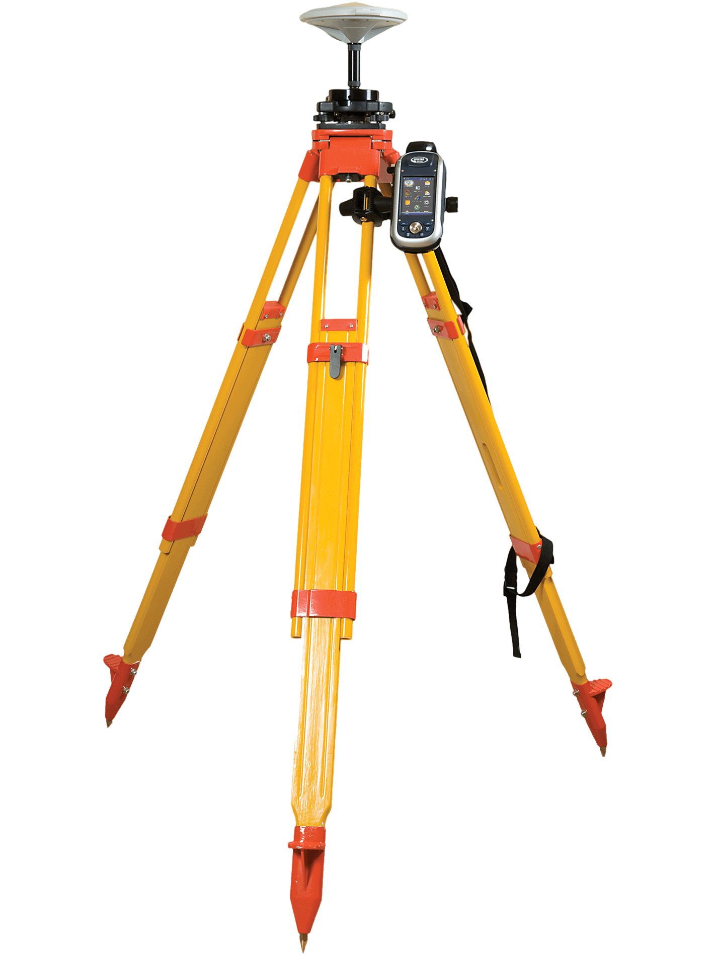
Topography Survey
Topography Survey delivers accurate mapping of land features such as contours, elevations, structures, and
drainage using Drone and DGPS technology.
It supports precise planning and design for construction and infrastructure projects. The survey reduces
field time while ensuring high accuracy.
Outputs are provided in CAD and GIS-compatible formats.
Road/Highway Mapping
Our Road and Highway Mapping services use Drone and DGPS surveys to capture accurate alignments, profiles,
and cross-sections.
The data supports planning, widening, maintenance, and DPR preparation of road projects. It ensures high
positional accuracy with minimal traffic disruption.
Deliverables are provided in CAD and GIS-ready formats.
Rail/Metro Mapping
Rail and Metro Mapping provides precise data of track alignment, stations, corridors, and surrounding
infrastructure.
It supports planning, expansion, safety assessment, and maintenance of rail and metro projects.
The method reduces field time in live corridors while maintaining high positional accuracy. Final outputs
are delivered in CAD and GIS-compatible formats.
Mining & Quarry
Mining and Quarry surveys provide accurate mapping of excavation areas, benches, stockpiles, and haul roads.
The data supports volume calculation, progress monitoring, and statutory compliance.
It enables safer planning and efficient resource management with minimal site disturbance. Deliverables are
provided in CAD and GIS-compatible formats.
Land Survey
Land Survey services deliver precise boundary demarcation, area measurement, and ground feature mapping.
The data supports land acquisition, planning, and legal documentation for various projects.
It ensures high positional accuracy and reliable records. Outputs are provided in CAD and GIS-compatible
formats.
Corridor Mapping
Corridor Mapping provides detailed spatial data along linear projects such as roads, pipelines, canals, and
transmission lines.
It helps in alignment planning, ROW analysis, and identification of obstacles and utilities.
The survey ensures accurate decision-making over long stretches with reduced field effort. Deliverables are
provided in CAD and GIS-compatible formats.
Town/Urban Planning
Town and Urban Planning surveys provide accurate base maps of buildings, roads, utilities, open spaces, and
land use patterns.
The data supports master planning, redevelopment, and smart city initiatives.
It enables better infrastructure planning and sustainable urban development. Final outputs are delivered in
CAD and GIS-compatible formats.
3D Modelling
3D Modelling creates accurate three-dimensional representations of terrain, structures, and infrastructure.
It supports project visualization, design verification, and virtual walkthroughs for planning and
construction.
The models help stakeholders make informed decisions while reducing design errors. Outputs are compatible
with CAD and GIS platforms.